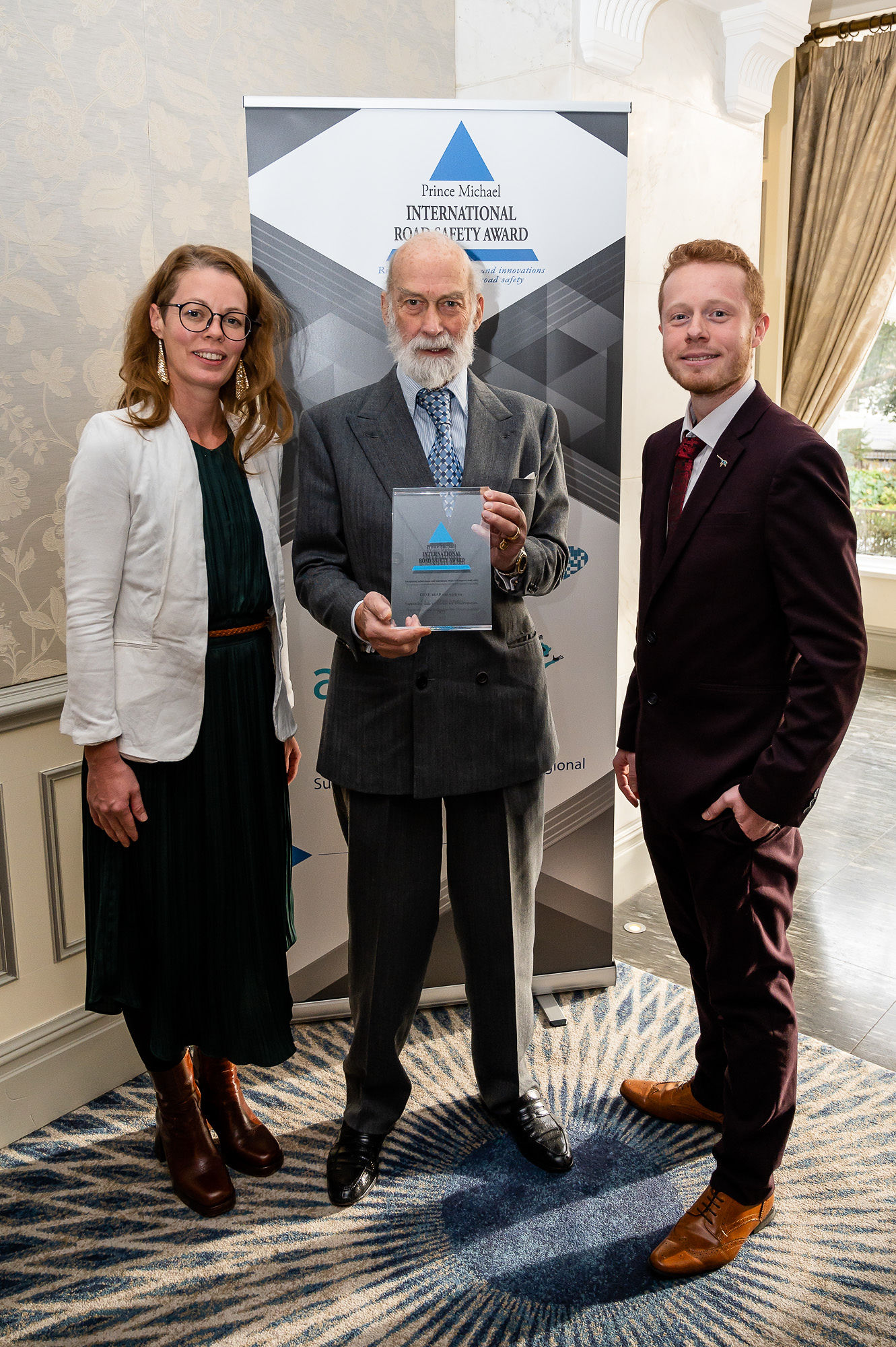
Agilysis brings home another Prince Michael Award
This week our recent project harnessing satellite imagery to understand road network safety, has been recognised by the Prince Michael International Road Safety Awards.
With funding from the World Bank’s Global Road Safety Facility, the International Road Assessment Programme (iRAP) and Agilysis delivered a ground-breaking research and development project to mine innovative data sources for road safety in Africa, in support of the African Road Safety Observatory (ARSO).
Novel sources of satellite and street imagery were combined with cutting-edge machine learning approaches to map where 75% of road travel occurs across Kenya and Ethiopia. The project also developed technology to detect vehicle speeds, flow and other road features that are critical for the measuring and monitoring of road safety indicators.
There is a clear challenge of collecting relevant safety data in many countries; doing so consistently and comparably between countries is even harder. Agilysis leveraged a variety of crowdsourced and open data from various platforms, plus Maxar’s Analysis Ready Data (ARD), which are pre-processed time-series stacks of Maxar’s high-resolution satellite imagery, to assess more than a dozen different road attributes.
In recognising the project for this prestigious award, the judges commented that it was: “An extremely innovative project and ground-breaking for those working in low and middle income countries, it expands on existing initiatives that have proven to be effective in increasing road safety across the world.”
Speaking about the award, Agilysis CEO, Richard Owen said:
“This project brought together several years of research and development to create an approach that works at scale. We now have the tools and expertise to conduct rapid analyses of national networks to understand key safety features.”
iRAP oversaw the project and evaluated the output data. iRAP established that several the key metrics were being measured accurately and consistently, recognising the approach with accreditation under their aiRAP programme.
Commenting on the project’s outcomes, James Bradford, Global Technical Director from iRAP said:
“We are working to support national governments and regional observatories in collecting vital data to help prioritise investment. New approaches like the ones explored in this project represent a major leap forward in developing data for national indicators and supporting the UN voluntary targets.”
The advanced computer vision techniques mean that the project has gone beyond national level indicators and produced road level data on the following thirteen attributes:
|
|
The project was made possible because of the partnership with Maxar and their innovations with ARD, which facilitated access to the relevant Earth observation data. ARD’s pre-processed image stacks allowed the research team to procure data based on highly specified geospatial plots and allowed the research team to get to analysing the data faster by reducing the time they had to spend preparing the data for use.
Following the completion of the project in Summer 2022, the approach has already been used by Agilysis to deliver data for clients working in South America, Africa, South Asia, and Oceania.


