CrashMap Pro
National and Local collision analysis reporting tool
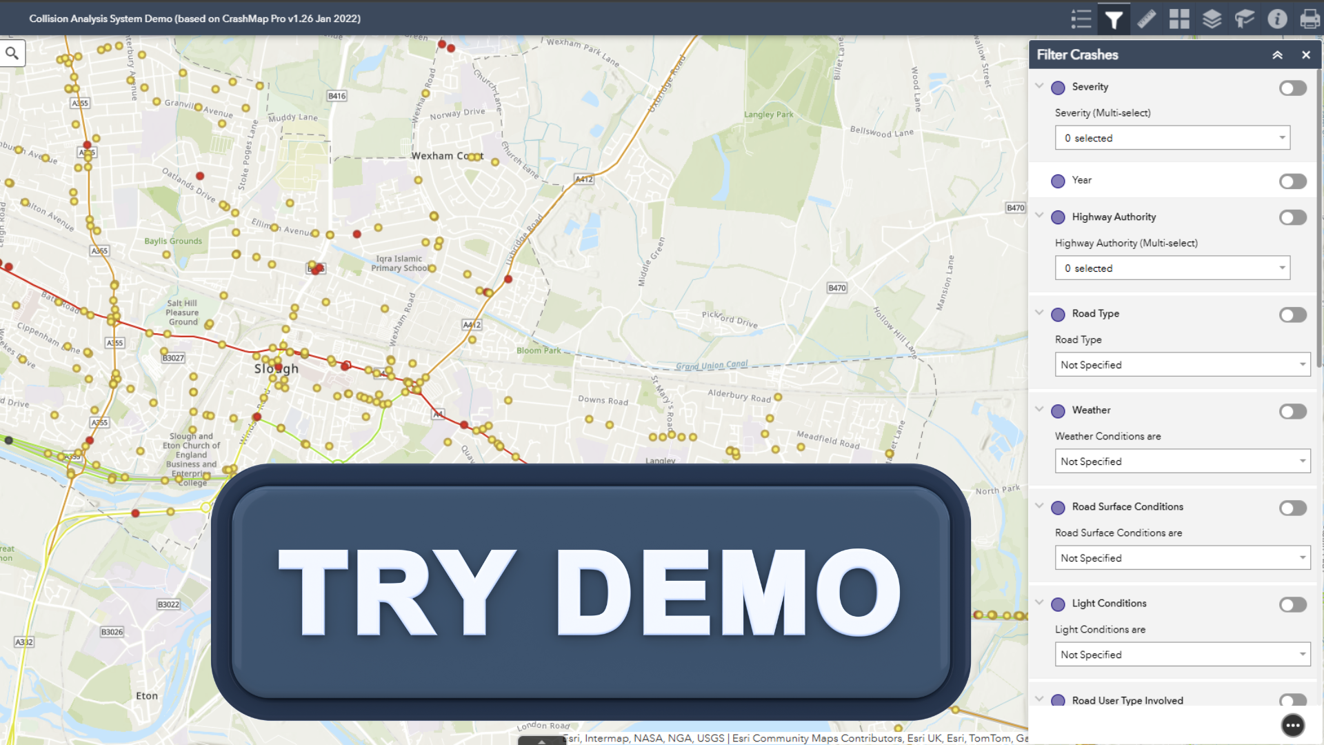
CrashMap Pro is delivered using the ESRI ArCGIS Online platform and provides access to information about user groups and vehicles involved in collisions and their locations on roads across Great Britain, or in your local authority area.
Built for professionals
Easily identify collision hotspots and at risk groups with an easy
to use online mapping solution with enhanced analytical
power for professionals. CrashMap Pro allows users to lter,
select and download ocial STATS 19 data on a map in a highly
visual way.
Enhanced Analysis
With access to detailed records from the last 10 years, users can
analyse by location, proximity, areas or routes. Or by importing
their own polygon.
Results can be easily downloaded for any further oine
analysis, or can be downloaded as a pre-prepared pdf report by
using the advanced query options.
Local Editions
Subject to a data sharing agreement, CrashMap Local editions
include a quarterly import of the latest local injury collision
data. As such, they are usually only available to the public sector.

CrashMap Pro
£1175
- Analysis Toolkit
- Access to detailed incident reports
- CSV Download
- Large Basemap gallery

CrashMap Local
(2 users)
£2450per annum
Two Users
- Analysis Toolkit
- Access to detailed incident reports
- CSV Download
- Large Basemap gallery
- Local Data imported quarterly
- (Year one setup fee £5,050)

