MAST
Casualty analysis platform
MAST is an analysis platform for the road safety industry. Combining national road casualty data with market leading customer insight, MAST helps road safety professionals to gain a clearer understanding of their emerging road casualty problems and to start defining the most efficient channels for new interventions.
Overcoming some complex historical and geographical challenges by tackling the national STATS19 dataset, users can now compare performance with other areas, examine collision migration and crucially, start to understand resident risk; putting citizens at the heart of the analysis.
Used nationwide by government departments, local authorities, police forces and charities, MAST has become a vital tool for the profession; helping to translate data into deliverable initiatives.
MAST has won a number of awards of its own as well as providing the analytical framework and evidence base for some other highly regarded schemes.
Headliners
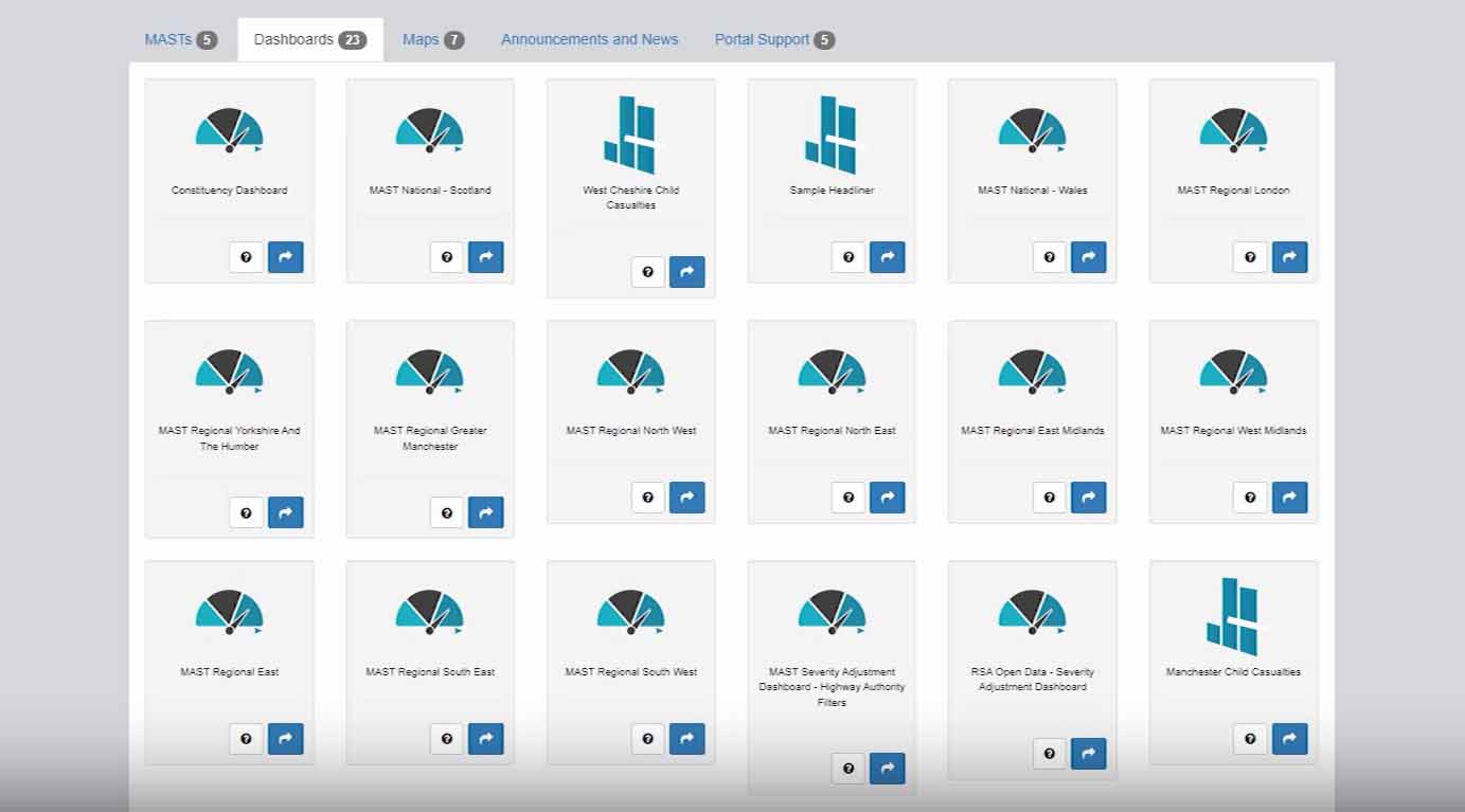
MAST Dashboards

UK Public Sector
Subscription includes:
- MAST Platform
- Headliners
- MAST Dashboards