
In the first three months of 2026, the Department for Transport has published two documents that clearly define the landscape for anyone working at the intersection of road safety and intelligent transport. Although they were produced by different teams for different audiences, together they tell a coherent story. After years of stalled progress, the UK is serious about regaining its place at the forefront of road safety performance, and it has concluded that data and technology are the mechanisms through which that can happen.
This conclusion was spelt out by the DfT Parliamentary Under-Secretary, Lillian Greenwood, at the Joining the Dots conference held in Birmingham in March. In her keynote speech, she said that “A safer future is in our sights and it's driven by data”, a statement I wholeheartedly agree with and one that has an important message for the ITS sector.
The Road Safety Strategy (January 2026) is the first comprehensive national road safety strategy in over a decade, setting bold targets for a 65% reduction in those killed or seriously injured by 2035 along with critical Safety Performance Indicators. The Strategy is explicit about how data and technology will enable the delivery of these targets. A whole theme (Taking advantage of technology, data and innovation), commits government to a new Road Safety Investigation Branch built on linked datasets and advanced analytics, to the secure linkage of police collision data with NHS healthcare data, to exploring membership of Data for Road Safety, and to maximising the safety benefits of ADAS and connected vehicles.
The Data Action Plan provides much of the foundation for these commitments, which depend on interoperable standards, APIs as the default sharing mechanism, a Transport Data Marketplace, a Transport Data Ontology, and governance frameworks that unlock rather than restrict appropriate use.
Neither document works in isolation; they are a coherent, combined vision. For example, a Road Safety Investigation Branch cannot produce systemic insight without a data ecosystem capable of feeding it; a Transport Data Marketplace demonstrates public value by supporting the policy target of preventing death and serious injury.
How ITS Supports Road Safety with Data
For the ITS community, this convergence opens several clear opportunities and to begin with, I will focus on the role of data. For many years, the sector has relied on historic collision data to inform decision-making on road safety priorities and specific interventions. Rather than continuing with a reactive STATS19-based approach, we can add richer datasets that more clearly describe risk analysis and align with a Safe System approach. The Safe System tells us that we have to be proactive, not to wait for someone to die before taking action, and there are great examples of how better data is already being used.
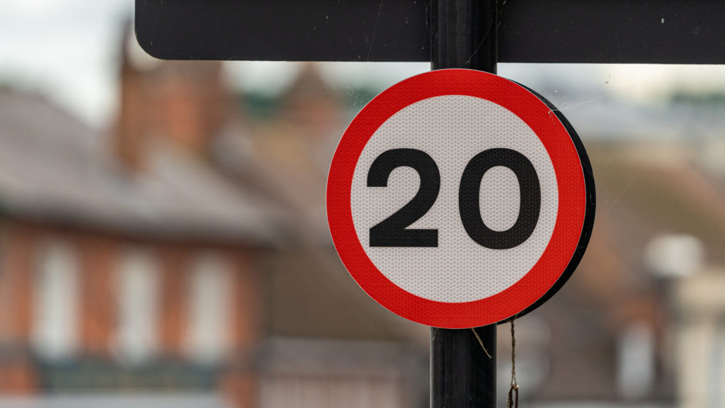
One of the most popular approaches is the adoption of road traffic data, including counts and speeds obtained from Floating Vehicle Data (FVD). For three years now, Ordnance Survey has made basic data available to the public sector free of charge via the Public Sector Geospatial Agreement. The uptake of this within local authorities and police forces has been rapid, and we estimate that around one-third of these bodies are now replacing traditional surveys with this instantly accessible type of data, saving millions of pounds a year. Use cases are very clear, especially within organisations that use this intelligence to prioritise resourcing. Commercial suppliers are adding richer datasets with larger sample sizes to enable day-by-day analysis, which is supporting more detailed evaluations of engineering and policy measures, such as 20mph scheme impacts.
Beyond this simple dataset, new metrics are becoming available through the sharing of systems data obtained directly from connected vehicles. The possibilities are enormous with intelligence on vehicle manoeuvres (acceleration, braking, swerving) , adding insight into road user behaviour at junctions, pedestrian crossings, and when unexpected queues are encountered. Information on road infrastructure, obtained through built-in cameras, provides real-time updates on the location of road signs and markings, allowing road authorities to link maintenance and safety objectives. Road friction and road condition data obtained from tyres and suspension systems help us assess the effectiveness of winter maintenance and drainage at individual locations. At Agilysis, we are working with colleagues across Europe on an exciting new project called CAMBER, which evaluates all of these data sources to understand how they can enable rapid analysis of safety performance without the need for on-site visits.
ITS Safety Systems and Innovation
The UK has arguably led the world in developing roadside technologies to support safety objectives. Speed and traffic enforcement equipment systems are continually improving, and more advanced road user feedback technologies are being used in communities to influence road user behaviour. Innovation requires an enabling legislative framework; however, delays in the HOTA system would seem to be stifling opportunities to deliver solutions that can save lives.
We are seeing a huge increase in the use of AI technologies too, either to assess safety directly or to analyse multiple data points rapidly and almost predict whether a crash is likely to happen. Adding live video feeds, connected vehicle data and predictions about traffic volumes and weather are being touted as the next generation of road safety tools.
As a sector, we need to speak loudly about our potential to deliver on the new road safety targets, to both the government and the wider public sector. I am looking forward to the years ahead as we innovate to support these ambitious new goals.
Richard Owen CEO, Agilysis

