
Using TomTom data to support a safer and more efficient network in Cornwall.
Customer success story

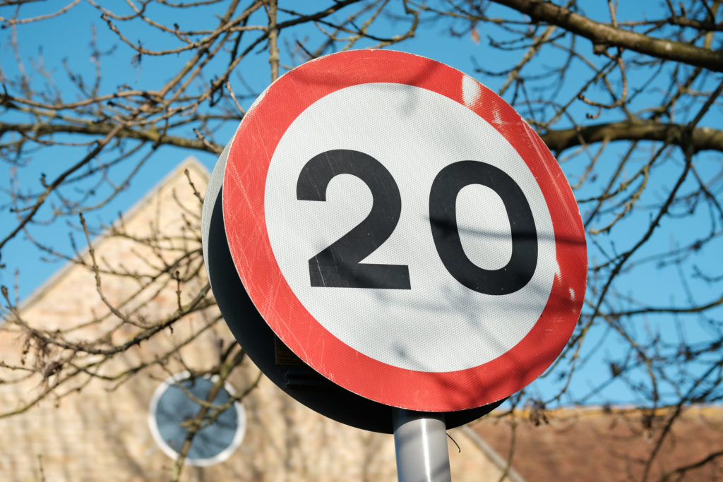
Cornwall Council has been using TomTom traffic data, supplied through its partnership with Agilysis, to support a wide range of transport planning, road safety, and network management activities. From monitoring the impacts of a Cornwall wide 20mph programme to responding rapidly to safety critical changes on the strategic road network, TomTom data has enabled Cornwall to make timelier, evidence based decisions while making better use of limited resources.
Speaking about their experience, Ian Findler from Cornwall Council described the tool as helping teams work more efficiently, particularly where traditional data collection methods would have required additional time, cost, and on street activity.
The challenge
Cornwall Council manages a large and diverse road network, spanning rural communities and market towns. Traditionally, understanding traffic speeds and driver behaviour relied heavily on physical data collection, including deployments of radar classes and speed indicator devices.
For major programmes such as the Cornwall-wide 20mph roll‑out, this approach would have required repeated on‑site surveys across many locations, followed by annual monitoring over several years. The Council recognised that this would place significant pressure on budgets, staff time, and available equipment.
At the same time, the Council also needed to respond quickly to unplanned events, such as safety interventions by National Highways on the strategic road network that could have knock‑on effects for local communities.
The approach
Cornwall Council procured TomTom data through Agilysis and is now in its second year of use. The data provides Cornwall‑wide coverage and is used by multiple teams across the organisation.
Key uses include:
- Monitoring the 20mph programme
TomTom data is used as part of a rolling, multi‑year monitoring programme to assess changes in traffic speeds following the introduction of 20mph limits. By drawing polygons around areas where speed limits have changed, the Council can focus analysis specifically on affected roads and compare the same periods year‑on‑year. - Supporting reporting and governance
Outputs from TomTom are incorporated into internal Power BI dashboards, enabling officers to respond efficiently to scrutiny and assurance requests from councillors and committees. This has supported transparent reporting as the programme has progressed under different political administrations. - Monitoring of wider programme and project impacts
TomTom data is used to help understand the impact(s) of wider programmes and projects by monitoring specific streets by using its route function, comparing the same periods year-on-year.
-
- Responding to safety‑critical network changes
Following a series of fatal collisions on the A30, a right‑turn movement onto the strategic road network was closed by National Highways. Cornwall Council used TomTom origin‑destination data, alongside local knowledge, to understand how traffic was rerouting through nearby communities. This evidence helped inform mitigation options and discussions with partners about where these should be targeted. - Day‑to‑day network management
Network management teams use TomTom data to help triage speeding concerns and requests from the public. In many cases, the data provides sufficient confidence to make proportionate decisions without immediately commissioning on‑street surveys, allowing resources to be focused where they are most needed.
- Responding to safety‑critical network changes
The impact
According to Cornwall Council, the biggest benefit of using TomTom data has been improved efficiency and resourcefulness.
Rather than waiting for equipment to become available, be installed, and processed into reports, which can take weeks, officers can access indicative speed and flow data quickly. This allows them to respond faster to emerging issues, support professional judgement with evidence, and reduce the number of physical surveys required.
While the Council continues to use traditional data collection where appropriate, TomTom data is generally representative and sufficiently reliable to support decision‑making, particularly when used alongside local knowledge and other data sources.
TomTom data is now embedded across multiple areas of Cornwall Council’s transport work, from strategic planning to local safety concerns. The Council sees ongoing value in maintaining Cornwall‑wide coverage, particularly as the 20mph programme continues and longer‑term monitoring commitments remain in place
By combining TomTom data with Agilysis’s consultancy support, Cornwall Council has strengthened its ability to make informed, proportionate decisions that balance safety, community impact, and available resources.